Digital Land Registry Pilot - Bandarawela

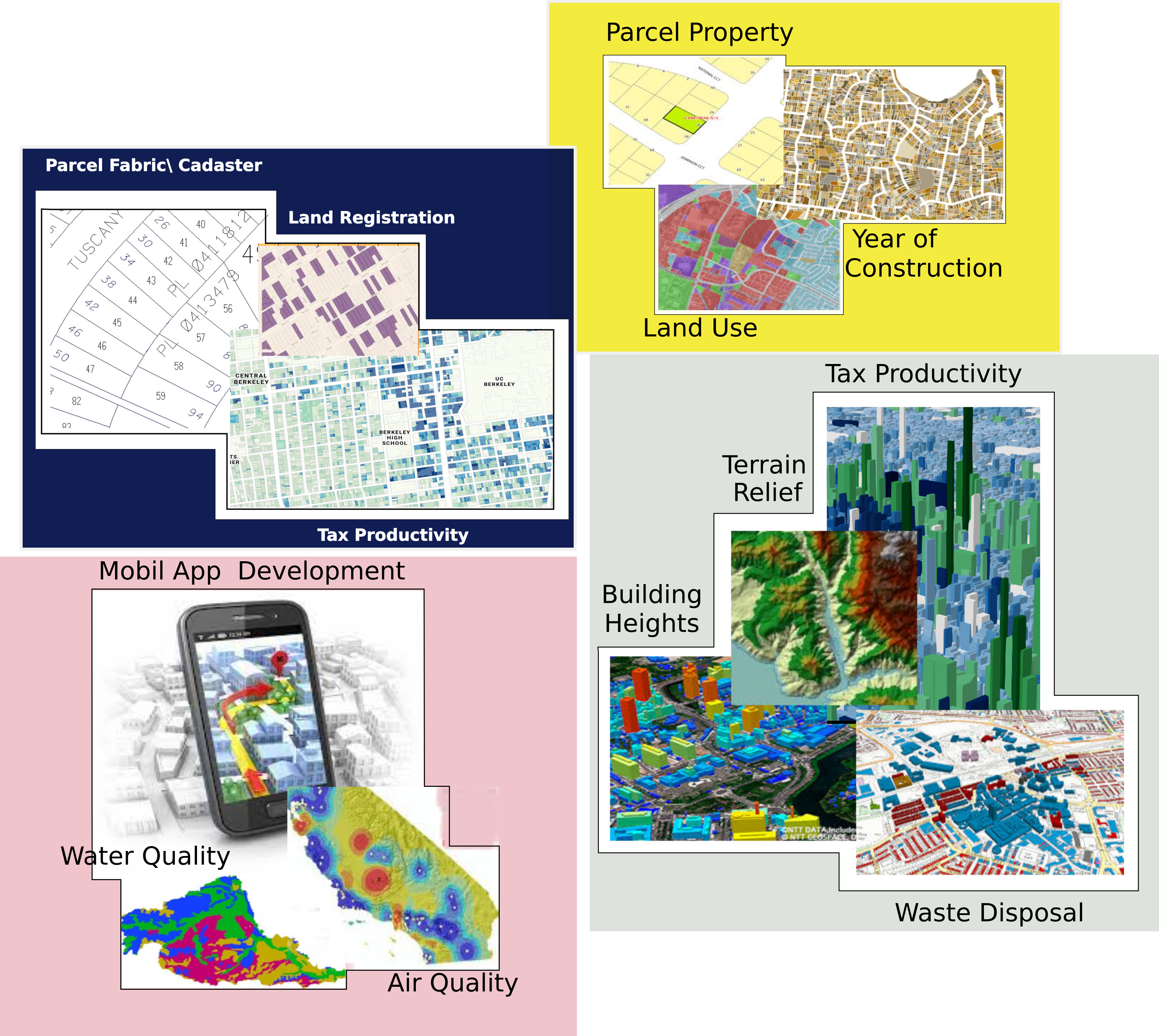
Successfully deployed a mobile data collection and parcel information system for the Bandarawela region. This project digitized administrative and assessment data, linking it directly to spatial parcel information, streamlining tax collection and land administration.

Key Outcomes:

  • Reduced data processing time by 75%.
  • Increased tax revenue collection by 15% in the first year.
  • Established a verifiable, single source of truth for land parcels.
drone survey.jpeg

National Digital Cadastre Initiative

In partnership with the Survey Department, we are expanding our digital mapping efforts to create a unified, high-precision digital cadastre for the entire country, providing a single source of truth for all land-related data. This long-term project aims to revolutionize property rights and land management nationwide.

Current Phase:

  • Data integration from provincial survey offices.
  • Development of a cloud-based central database.
  • Training of Survey Department personnel on new technologies.
Ongoing Project